

TUNNELING
Boost productivity and enhance the safety of your tunneling projects with our high-end computer vision and blasting software.

ShapeMetriX
Tunnel construction confronts significant geological data acquisition challenges. Traditional geologic mapping at the rock face is often hazardous due to risks like rock falls and rockbursts. Additionally, the limited space and tight timeframes in tunneling complicate both geological mapping and evaluation processes, making accurate and timely mapping a difficult task.


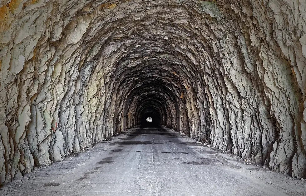
ShapeMetriX is a powerful solution for 3D documentation of rock mass conditions in underground applications.

It is easy to use, flexible, and delivers precise, high-quality documentation quickly on-site. By enabling operators to remotely gather data, ShapeMetriX minimizes risks while providing consistent, accurate, and reproducible data. This comprehensive data collection supports informed decision-making and thorough reviews.
Dedicated Features of FragMetriX for Tunneling Operations

Integration with Geotechnical Software:
ShapeMetriX interfaces with IDS Georadar and Rocscience software and supports data export in CSV, DXF, and OBJ formats, enhancing interoperability and facilitating analysis by seamlessly integrating with existing geotechnical tools and improving workflow efficiency.
Dedicated Features of FragMetriX for Tunneling Operations

Advanced Geological Analysis Tools:
ShapeMetriX includes tools for discontinuity modeling, scanline mapping, and depth coloring, offering comprehensive insights into geological structures and conditions that improve risk management, decision-making, and excavation planning.
Dedicated Features of ShapeMetriX for Tunneling Operations

Contact-Free Geometric Measurements:
ShapeMetriX measures orientations, distances, discontinuity traces, and persistence without direct contact, increasing safety by reducing physical risks and enhancing operational efficiency.
Dedicated Features of FragMetriX for Tunneling Operations

High-Resolution 3D Modeling:
ShapeMetriX generates detailed 3D models of tunnel faces and surrounding geological formations, providing accurate spatial assessments that enhance the prediction of ground behavior and ensure safe excavation.
